Did you know that the Moreno Valley, where Angel Fire now stands, was once drawn inside a single land grant created by a petition and a governor's signature in just three days? The land was the ancestral home of the Jicarilla Apache, and Mexico, newly independent from Spain in 1821, continued the old Spanish policy of encouraging settlement by making large land grants. In the final years of Mexican rule, Governor Manuel Armijo made several such grants east of Taos, and none shaped these mountains more than the Maxwell Land Grant.
Click to see more photos of the Maxwell Land Grant — its 1893 map, Baldy Mountain, and the Vermejo Park Ranch country
The two men behind the petition could hardly have been better placed. Carlos Beaubien, often called Charles, was a French-Canadian trapper who had become a Mexican citizen and a prosperous merchant in Taos. His partner, Guadalupe Miranda, was Governor Armijo's own secretary in Santa Fe. On January 8, 1841, the two petitioned Armijo for a tract east of the Sangre de Cristo Mountains, swearing that they would colonize and cultivate it. Historian Lawrence R. Murphy's account says they proposed to grow crops such as sugar beets or cotton and raise stock, beginning at the junction of the Rayado and Colorado rivers, today's Canadian River. Three days later, Armijo granted them the land, on the condition that they put it to good use.
Putting it to good use proved harder than signing the paper. Beaubien and Miranda failed to prove up the grant for the next two years, a delay the record blames in part on an invasion from Texas. On February 13, 1843, they asked the justice of the peace in Taos to sign an order giving them possession, and the justice affirmed that he had marked the boundaries and that the two men were in full possession of it. On March 2, 1843, they gave Governor Armijo a one-fourth interest in the grant, and later they gave trader Charles Bent a one-fourth interest as well, in exchange for his help in promoting settlement.
The grant was challenged almost from the start. Padre Antonio Jose Martinez claimed that it was illegal, but a lawsuit was decided in favor of Beaubien and Miranda on April 18, 1844. Beaubien and Bent then began settling the grant land along Ponil Creek and near the present site of Cimarron, and in 1845 the first two Anglos, Kit Carson and Dick Owens, settled on grant land.
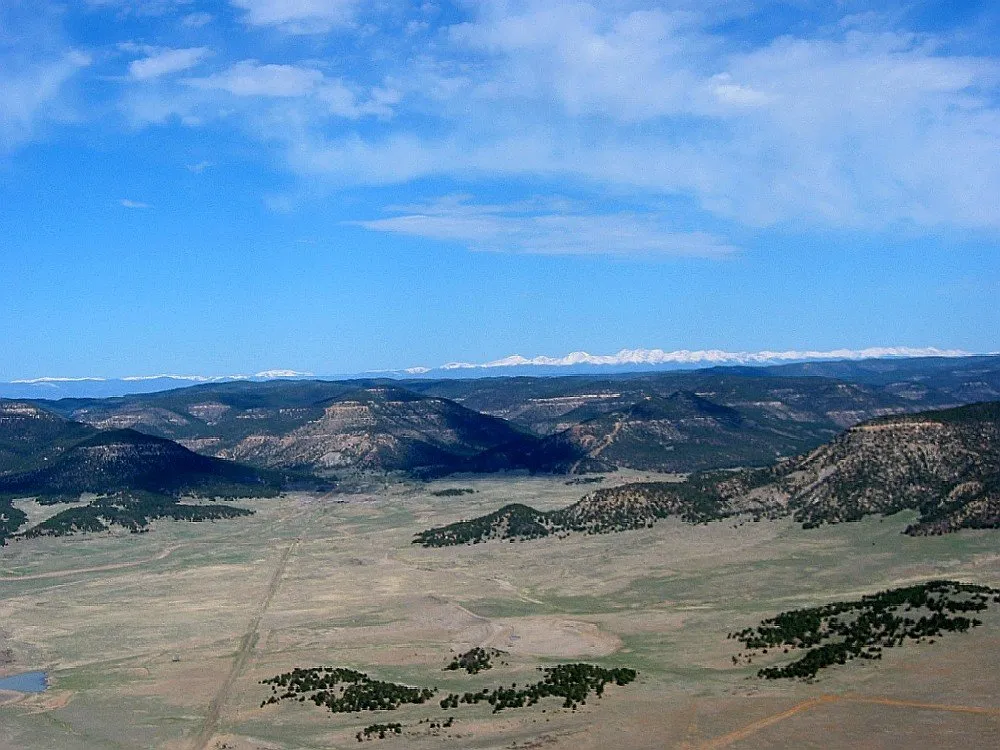
Only later did anyone grasp just how large that three-day decision had been. Measured in the end at 1,714,765 acres in Colfax County, New Mexico, and adjoining Las Animas County, Colorado, the grant ran almost 60 miles north to south and about 50 miles east to west, from the Great Plains to the crest of the Sangre de Cristo Mountains. Cimarron, Elizabethtown, Baldy Town, Raton, Rayado, Springer, and Ute Park all came to stand within it, and its southeastern boundary reached westward almost to the present site of Angel Fire Resort. Baldy Mountain, at 12,441 feet, still watches over the grant country at the head of the Moreno Valley.
Beaubien's son-in-law, Lucien B. Maxwell, later gathered the whole grant into his own hands and sold it in 1870. But every drive around the Enchanted Circle today crosses the old grant map, from the valley pastures below Angel Fire to the gold country around Elizabethtown. It all traces back to a January petition in 1841, when two well-connected men promised to colonize and cultivate a mountain frontier, and a governor said yes in three days.